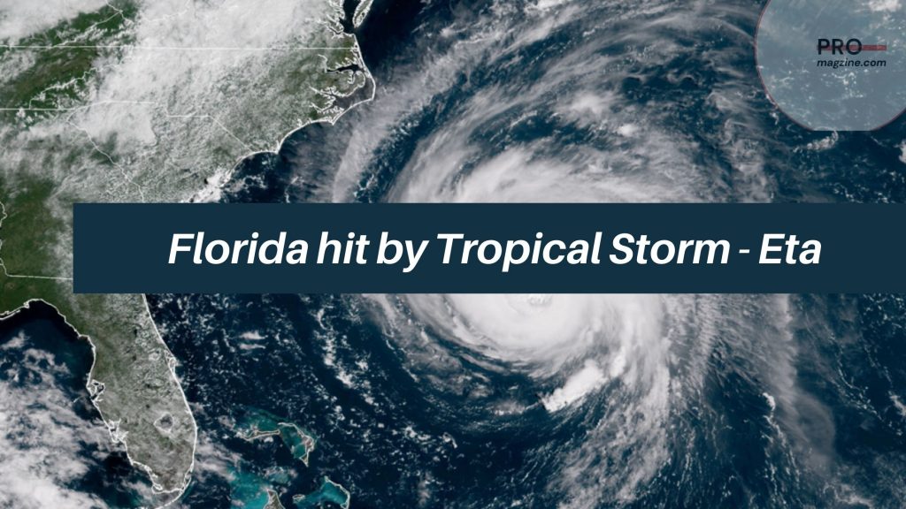
Florida’s west coast was subjected to torrents of heavy rain as Tropical Storm Eta breezed over the Gulf of Mexico towards the north of the Tampa Bay in an expected landfall on Thursday. Tropical storm Eta as predicted by the Hurricane Centre Miami would lose strength, change path and move towards North East Florida. By early Wednesday it passed the Tampa Bay area, an inspection of that region showed no injuries or serious damage. Although the warnings that were issued alerted people on several tornadoes not a single one touched down. In the series of storms so far to strike the Continental USA during this season Eta is the 12th named. Although Florida’s west coast was warned of a storm surge, Eta was downgraded to a Tropical storm. Eta had gained a hurricane status but lost it very quickly to be termed a tropical storm.

It was predicted to bring life threatening disaster to the Gulf Coast of Florida in the early hours of Thursday, with heavy showers over West and Central Florida with the possibility of flash floods in South Florida. The National Hurricane Center in an update at 1 a.m EST had mentioned it as moving north at 10 mph with high winds of 60 mph and it was 65 miles north – northwest of St. Petersburg then. Eta was expected to move into the Western Atlantic in a North Eastward direction, as predicted by the National Hurricane Center earlier on Wednesday. It had also mentioned dangers that were life threatening along the Gulf Coast of Florida, extending from Bonita Beach to the Suwannee River, as well as Charlotte Harbor and Tampa Bay.
It was being seen as a category 1 hurricane but was soon reduced to a tropical storm that did not cause any extensive damage to life or property.

